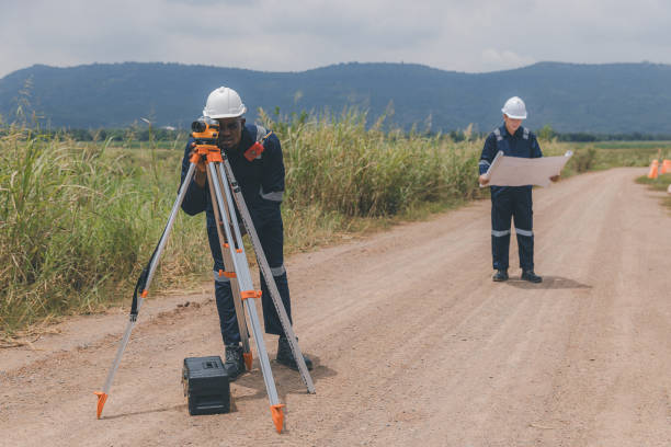
Geographical Information Systems
Geographical Information Systems are essential tools for planning, resource management, and decision-making due to their immense ability to store, retrieve, analyze, model, and map spatial data in different projects.
Our Geographical Information System courses are designed to equip you with the skills, knowledge, and appropriate tools to visualize real-world features, explore spatial data, and analyze maps to communicate information and make informed decisions for different project sets.
Who Should Attend
The courses target Physical Planners, Surveyors, Transportation Experts, Government Engineers.
Programmes
Training on GIS in Health
Training on GIS in Monitoring and Evaluation
Training on GIS for water Sanitation and Hygiene
Training on web-based GIS and Mapping
Training on GIS Mapping and Spatial Analysis using ArcGIS


Ready to Elevate Your Skills?
Start Your Journey Today
Whether you're looking to enhance your individual expertise or elevate your organization's performance, EICDM is here to guide you. Explore our programs and find the right path to success. Get in touch with us today!
